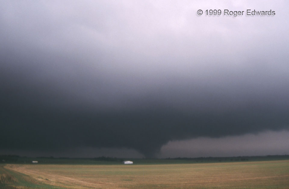
Before breaking off “Storm A“, we saw the very distant Fort Cobb tornado under this supercell’s base, then after arriving on this storm, a few more mostly fuzzy, short-lived ones until the Minco vortex took root. This tornado featured a scuddy, wildly gyrating condensation form, and underwent rapid changes between cone, multivortex, barrel-shaped, and back again. It was the tenth of 20 tornadoes spawned by “Storm B”, the sixth we saw from this storm, and the ninth so far on the chase. [The last was the Mulhall tornado well after dark, from this storm.] Unfortunately, slide-film photography was very difficult on this day due to haze, very low light under large and deep supercells, fixed ISO, and rapid cloud motions. Zoomed-in shots were blurred due to camera motion or cloud motion, or both. I was just glad this slide came out!
5 NE Dutton OK (3 May 99) Looking NNE
35.2473, -98.0242