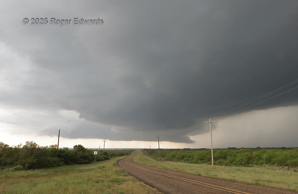
Here is an entry that is more educational than photogenic, but I’m including it because of the valuable lesson. It involves one supercell, two mesocyclones, and a distressing situation for all storm observers piddling around under the far one! This sturdy and mature supercell, right as it was entering a substantial void of paved roads, “jumped mesocyclones” to a new occlusion point along the storm’s forward-flank gust front, by shedding the old one (rear, flared cloud base) gradually and undercutting the accompanying updraft with outflow. Meanwhile, a new mesocyclone and accompanying young wall cloud spun up much closer to us. The old one would take a long time to dissipate, while the new one became intermittently rain-wrapped, and the whole mess hooked hard right (southeastward) into the road void. Fortunately, a rough but known dirt-road option was behind us and out of the forward-flank core, to take us to the southeast and keep us in the inflow region of the increasingly complex storm. Observers playing footsies with the old mesocyclone had to go way south, east, then north again, or else risk rear-punching the hook that was about to descend and wrap around the nearer wall cloud (bad idea!).
4 ESE Roaring Springs TX (25 May 25) Looking W
33.8918, -100.788