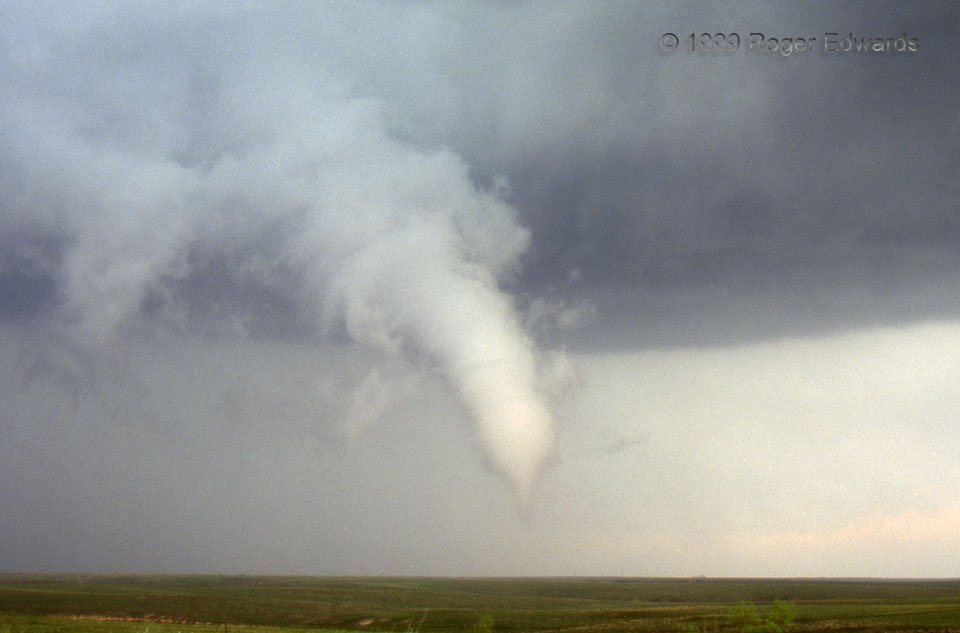
This taught me not to give up on even a seemingly outflow-dominant supercell. Just 20 minutes earlier, we sat in dusty, frigid, northwest winds, gushing from an old mesocyclone that had become rain-wrapped and suffocated by cold air. After we moved southeast, a new mesocyclone formed along an inflection point in the outflow boundary, and beneath some high-based but intense updrafts. The new supercell briefly became classic in structure with a clear slot, rear-flank downdraft (RFD) and rain-free base (RFB). Many storm chasers were stuck in a damaging core at left rear, unable to enjoy their silhouetted view of the funnel while giant hail bashed craters into their vehicles. Fortunately we were inside a dry slot, behind the hook, with a clean vantage through the hook’s very thin and translucent precipitation veil. This pathetically weak tornado spun up from a ragged, slowly rotating area of scud under the new meso. Several very reliable storm observers confirmed it by reporting puffs of spinning condensation on the floor of a shallow canyon under the funnel. The outflow would stretch this vortex southward…
5 W Lake McClellan TX (20 May 99) Looking E
35.2076, -100.975