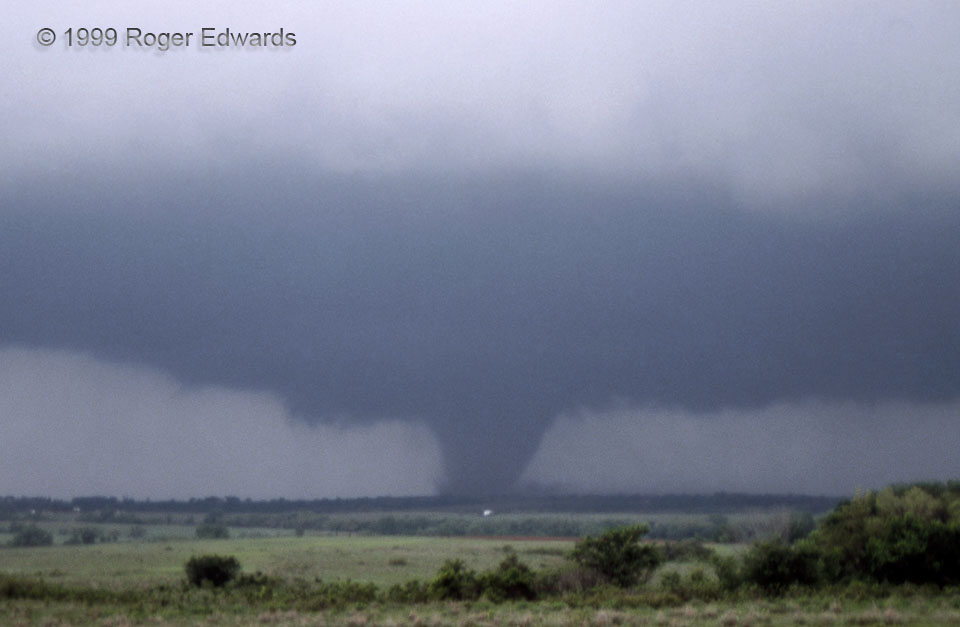
After an early multiple-vortex stage, the “Chickasha” tornado consolidated and organized into a persistent, nearly steady-state, barrel-shaped single vortex, ominously churning across the rolling country southwest of Oklahoma City. Meanwhile, the great depth and volume of the parent supercell, above a low-cloud deck, cast a broad shadow dark as evening across the afternoon countryside, causing lights to turn on outside areas where the tornado cut electric power, and turning already unforgiving low-light, low-speed slide-film shooting into an especially challenging exercise. To the left of the big vortex, a spindly little funnel cloud swung around the edge of the mesocyclone for less than a minute, a harbinger of later satellite tornadoes around this and other main tornadoes during the destructive outbreak.
2 SSE Norge OK (3 May 99) Looking NW
34.9544, -97.9878