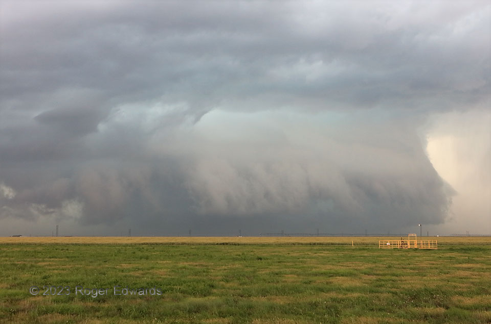
The day before, we had observed well-structured supercells in messy terrain (the Hill Country of central Texas). On this day, we hauled northwestward over six hours to track a messy supercell in easy terrain (of the northern Panhandle)! I’ve grown respectfully, begrudgingly fond of heavy-precipitation supercells like this over the years, referring to them mainly by two nicknames: “Stormzilla” and “Mean, Ugly and Nasty (M.U.N.)”. They don’t care what you call them. They just plow forward and lay down swaths of severe wind, destructive hail, and flooding rains along their paths that can waylay chasers tempted to test fate within. Sometimes the dangers include a rain-wrapped tornado that’s not seen until inside it, by which time one no longer is in control of living or dying. That’s an undesirable realization. Best stay back and appreciate from a photographically suitable distance! As far as we know, this one was not tornadic during this stage. Despite being obviously prolific with outflow, the storm wouldn’t get fully outflow-dominant and lose its surface-based mesocyclone (distant right behind the gates (for a bit longer).
5 ESE Sunray TX (13 Jun 23) Looking NW
36.0094, -101.7403
