We were packing the car and fixing to leave Cadillac Mountain, in Acadia National Park, where we had spent a few morning hours overlooking the Atlantic Ocean and Maine coastline. I happened to look up to see a vivid lower tangent arc quickly appearing below the sun, grabbed the camera, and did a boulder dash back up past the summit for this shot. This tangent arc had shallow curvature because the sun was nearly high enough to eliminate it mere minutes after it appeared (more below). How do I know it was a tangent and not circumhorizon arc? The latter occurs when the sun is higher in the sky, near solar noon in lower- to middle-latitude springs and summers (this was a fall morning in Maine!), and sits well below the 22° halo. This was directly on the bottom (lower tangent) of the 22° halo, which faintly extends from the tangent arc at upper left and right. The tangent arc bends down, too, and that still is (barely!) visible around the edge of a chunk of stratocumulus that floated just below the lower tangent. The reddish part of tangent arcs (as well as circumhorizon arcs, circumzenithal arcs, 22 halos, and parhelia) always are on the side closer the sun.
A narrow time and angular window exists between when lower tangent arcs become visible, and when the sun rises high enough that lower tangent arcs rapidly bend upward into an oval shape to unite with upper tangent arcs. That process, in turn, forms a “circumscribed halo”, an uncommon oval apparition that touches the top and bottom of the very common 22° halo at the upper and lower tangents, but extends well outward from the halo’s horizontal tangents. Here, the circumscribed and 22° halos formed, but were faint and chopped up visually by varying layers and thicknesses of low and high clouds. All these atmospheric optics that I’ve described occur as different wavelengths (colors) of visible sunlight redirect differently through columnar, 6-sided ice crystals, coming into one face and exiting another.
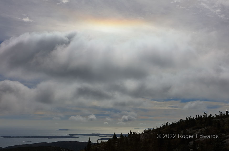
2 SSW Bar Harbor ME (4 Oct 22) Looking SSE
44.3518, -68.2241