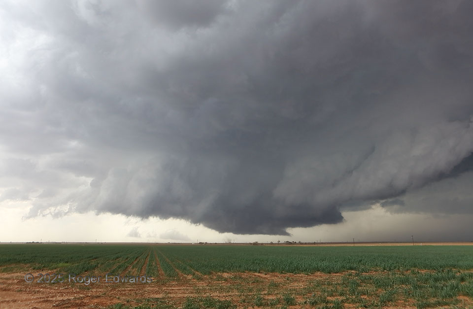
The supercell took a good bit of time to get organized along a boundary it was riding, but this signaled it was ready to rock and roll. The inflow-region (left) and forward-flank tail clouds were both strongly convective and converging rapidly inward toward the wall cloud at center — something I like to see for overall low-level storm strength. Moreover, rotation in the wall cloud in the middle was ramping up quickly, as in every five to ten seconds, spin strengthened. The appeareance of a tightly rotating nub of dust beneath the cloud-base rotation confirmed both a small, young tornado and that this storm meant serious business. This spinup lasted a couple of minutes ner the center of the visible mesocyclone then dissipated, leaving residual dust as a completely separate, better-organized tornado formed on the south edge…and stayed there!
2 S Beck TX (25 Apr 25) Looking WNW
33.9242, -102.5371