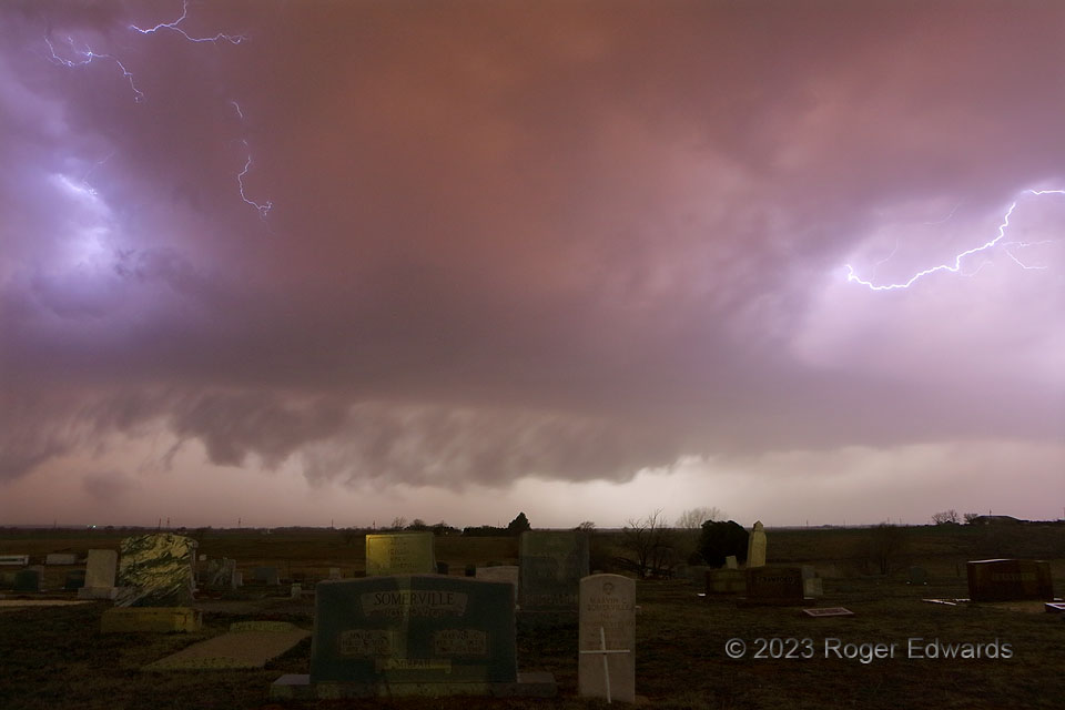
Shortly before this image, a portion of the line just to the left of this shot, containing the rear-flank downdraft to this circulation, hit the Memphis, TX mesonet site with 114-mph gust. That was the strongest nontornadic wind of an extensive severe-weather event that kept rolling east over most of Oklahoma in the next few hours. This short-lived, moderately rotating, embedded circulation took on loosely supercellular visual characteristics, with a messy wall cloud, and at right, rainy vault and tail-cloud formations. [If the cryptic foreground looks familiar to loyal SkyPix fans, there was good reason almost six years prior.] There was no hope of staying ahead of this convection, given its translation at Interstate highway speeds, so I let it roll over and tracked behind on the way home. Unfortunately, a different and much better-organized, line-embedded supercell produced a tornado that hit east Norman a couple hours later, with my house inside. Alas, when that happened, I was still behind the line, about 50 miles from home.
Wellington TX (26 Feb 23) Looking W
34.8478, -100.2288
