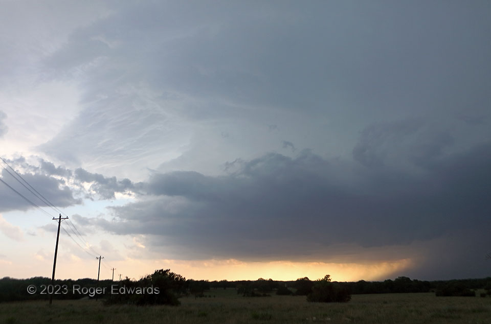
A previously disorganized but deep cluster of multicell storms west of Lampasas, in a very moist and favorably sheared environment, coalesced into a large supercell southwest of town, sporting a very wide base. I knew this storm meant business when it turned hard right, while over the span of around 10 minutes, inflow picked up from a modest breeze of less than 10 kt to a stiff, steady, roaring wind that swing power lines to and fro, bent trees, and even rocked utility poles. A tremendous amount of mass was accelerating into and racing through this storm in a short amount of time! This wide-angle view reflects the sheer dominance this storm had over its environment, where even the wall cloud at near right looked small. Since I was northeast (abeam) of the southeastward-moving business end, it was time to head east, then south, else get engulfed in an undesirable and usafe firehose of large hail, severe outflow wind, and flooding rains.
1 SW Naruna TX (5 May 23) Looking SW
30.9797, -98.3235
