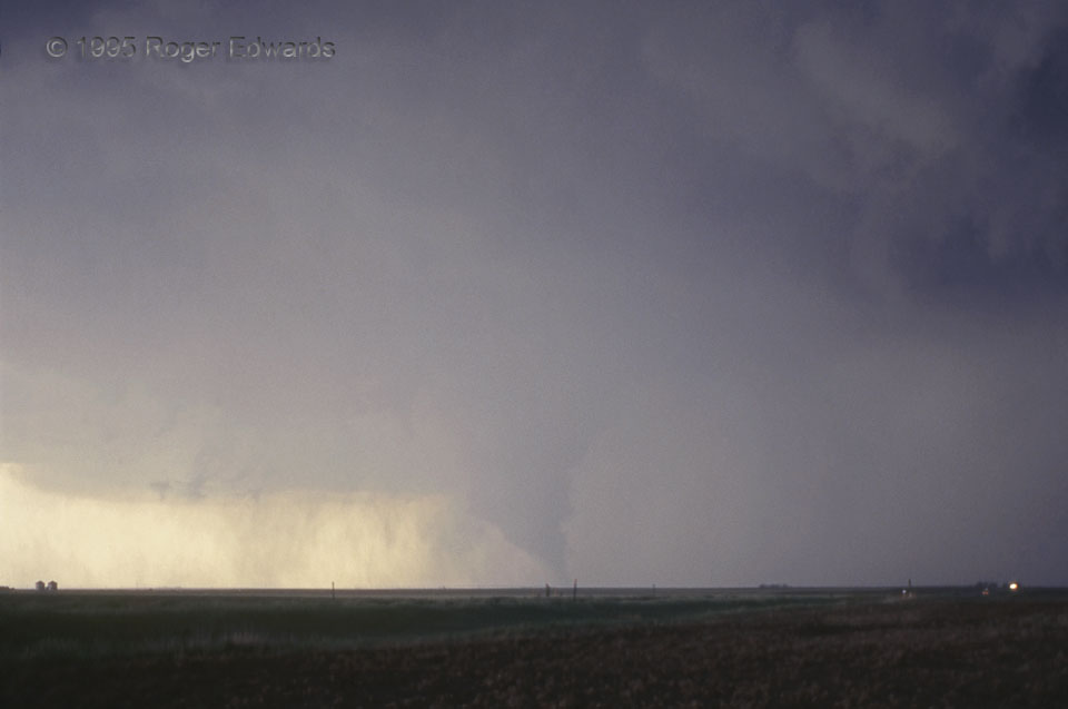
One tornado photo that didn’t get away was a long time coming. Of the tornadoes I had seen on a decade of storm chases prior, this was the first of which I captured a non-distant slide where the tornado was in focus, properly exposed, and clearly defined as such. This vortex spun up beneath a wet-classic supercell out in the open country northwest of Liberal and east of Hugton, KS, endangering nothing but grasshoppers and jackrabbits. It was visible for less than 30 seconds before getting choked by cold outflow, and did no damage. Curtains of precipitation can be seen behind and left of the tornado (its southwest), getting denser to its right (to its northwest and north). On radar, these would appear as a tightly curved “hook” echo. The cloud formation at upper right was part of a newer, closer mesoscyclone, beginning to rotate strongly at the time of this photo. The newer circulation almost produced another tornado next to us before also being undercut by outflow.
6 W Woods KS (22 May 95) Looking WSW
37.1708, -101.2126