SkyPix

A digital photographic storybook of clouds, weather and water by Roger Edwards.

  • Home
  • Newest Posts
  • Galleries
    • Aerial
    • All Hail
    • Burnscapes
    • Daytime Lightning
    • Floods
    • Fog and Mist
    • Gallery of Outflow
    • Hurricane Andrew
    • Mini Cloud Atlas
    • Night Lightning
    • Mostly Okie Winters
    • Sunsets and Sunrises
    • The Majestic Supercell
    • Tornadoes
    • Unusual Weather Damage
    • Visual Effects
    • Wall Cloud Wall
    • Water Works
  • About
  • F.A.Q.
  • Contact

Ice Machine: Let It Go

2021-01-13 By Roger Edwards

Ice Machine: Let It Go

The beauty of the wildflower-carpeted rolling Great Plains belied the violence of the messy supercell crossing the distance from right to left, at high velocity.  This post-cold-frontal storm moved from north-central Wyoming into southwestern South Dakota and increasing moisture, aiding and abetting a fast-moving, outflow surfing, rotating hail machine, with severe gusts to boot.  The front-flank shelf cloud is at middle left, with mesocyclonic wall cloud partly visible through both the intervening forward-flank core and its own wrapping precip.  The “eyeball test” here, combined with sparse and awkwardly angled road options, was enough to tell me to bail, even if I had no ability to get radar imagery.  Speedy storms that look like this are just not easy nor fun to tangle with, up close and personal.  Resembling Pac-Man on radar reflectivity presentations, with a deep and dreadfully vivid hail signature, my decision was validated to let it go, instead of a risky northern approach, trying to “beat it to Chadron”.  That maneuver likely would have failed, right through a fast-moving, hard-driving forward flank, then into the vault region of a “hurricane hailer”.  Restraint turned out wise for two reasons:  1) the storm had produced estimated 90-mph winds at Ardmore, SD and 2) was about to hurl a measured 64-mph downburst with hail upon Chadron.  Later that day, after returning from observing a different, beautiful and also hail-profuse supercell near Martin, I found trees stripped of leaves in Rushville, NE, from this nasty bugger.  The following year, I’d observe a similarly southeastward-racing hail and wind machine from the opposite side, and about 90 miles to the northeast of here.

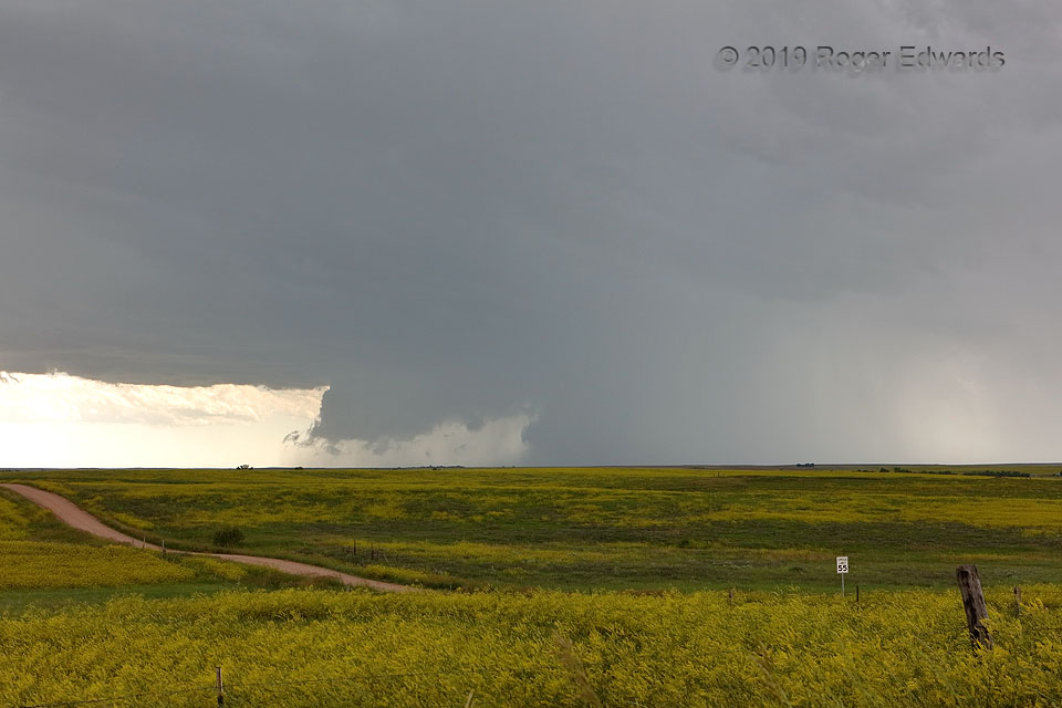
1 ENE Oelrichs SD (9 Jun 19) Looking SW
43.1876, -103.2086

Filed Under: The Majestic Supercell Tagged With: clouds, convection, Great Plains, landscapes, Oelrichs, outflow, shelf cloud, South Dakota, storms, supercells, thunderstorms, wall clouds, weather, wildflowers

Previous: Twin Vault Blast
Next: One-and-Done Cone

About

Welcome to SkyPix, an online photo book of clouds, weather and water by Roger Edwards. As in a printed coffee-table book, every image has its own page with a unique story. After all, meaningful photography is much more than just picture-taking; it is visually rendering a moment in place and time from a perspective like none other. As a scientist and an artist, I hope my deep passion for the power and splendor of our skies and waters shines through in these pages. If you are a cloud and weather aficionado, outdoor enthusiast, outdoor or nature photographer, art lover, or anyone who craves learning, enjoy...

More

Further images from this photographer may be found at:
Roger Edwards Image of the Week
Roger Edwards Digital Galleries
Storms Observed Chase BLOG

Copyright © 2025 ROGER EDWARDS SKYPIX.PHOTOGRAPHY ALL RIGHTS RESERVED. · Design by INSOJOURN Design and Images · WordPress · Log in