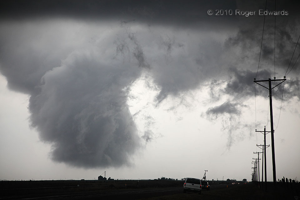
Within just a minute, this wall cloud had evolved from a pointy, banded feature to this very low-hanging and flatter form, still rotating rapidly, still monochromatically colored and textured, and still worth watching for potential tornado development. Although this now-blocky wall cloud soon would erode, the old and occluded circulation didn’t go away. Instead, it started wrapping in rain, then produced a surprising little tornado before finally dissipating in the increasingly stable, precipitation-filled back side of the supercell. Only then could we motor around the rear flank and get back in position to view a newer, quite large, and visually menacing mesocyclone from the same supercell, farther east.
5 N Channing TX (18 May 10) Looking NW
35.7537, -102.2113
