[Click Image to Enlarge]
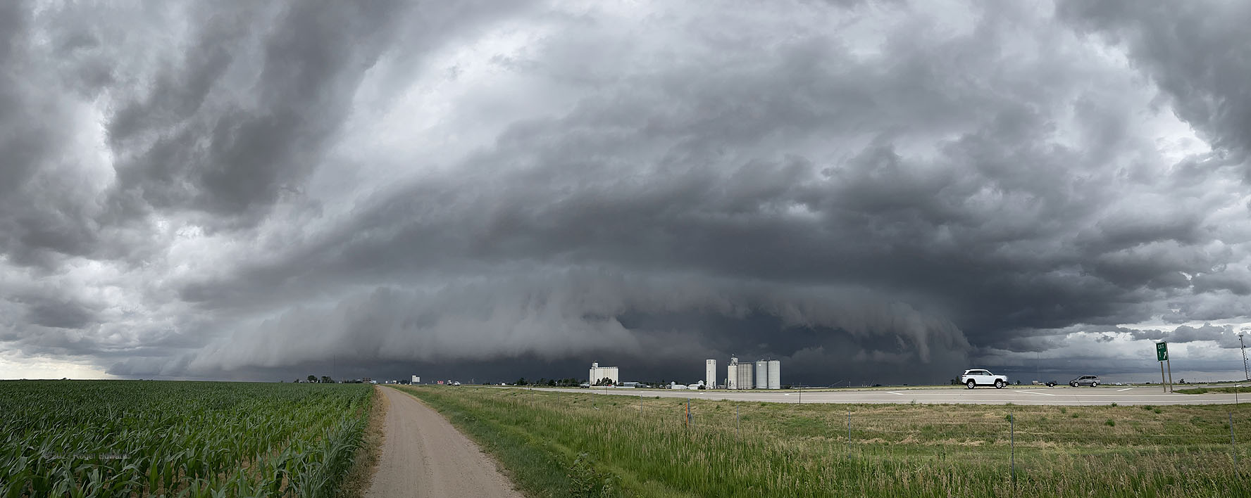
Likely not the last, and far from the first to follow me in haste and fury down I-70 into Kansas, this heavy-precip supercell resulted from the earlier merger of an outflow-dominant storm with a foregoing tornadic supercell in Colorado. This, in turn, would be absorbed into a long, severe squall line that would yield wild and menacing skies, as well as severe winds, as it unceremoniously chased the chaser eastward across northern Kansas.
1 SE Kanorado KS (30 Jun 23) Looking WSW-NW-N
39.3284, -102.0239