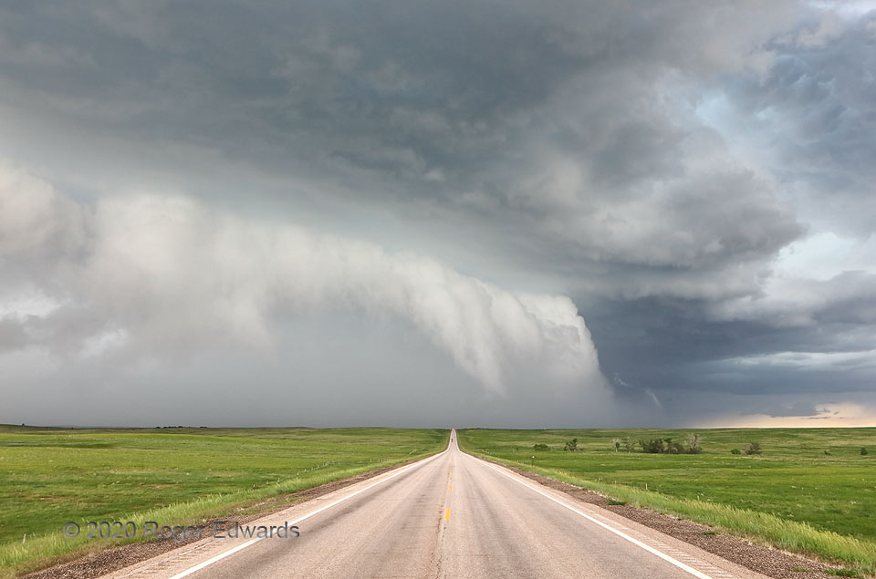
Experienced storm observers shall take one look at this scene and understand, foremost, that there’s probably a lot of hail in there. Indeed this was a hail factory, the grayish-white mass of rear-flank precipitation surging southeast behind and under that ragged shelf cloud, that core reflecting nearly as much light back to the observer as the cloud itself. The arcus formed nearly a vertical wall, indicating intense upthrust of the inflow layer by the core’s cold, dense outflow, that being another result of abundant hail within. The storm also was closer than it appears, since this is a wide-angle shot. This was not a situation for core punching. Right before this shot, an elderly lady northbound in a nice, late-model sedan stopped to ask if she should proceed. I told her, “No way. This would destroy your windshield. I plan to turn around and drive back south at least 5 miles until it’s gone, then come back. I recommend you do the same.” She apparently did, and so did I. I returned to find the day’s biggest hail in the nation less than half a mile south of here, measuring up to 3.2 inches in max diameter.
7 S Faith SD (4 Jun 20) Looking N
44.8967, -102.045
