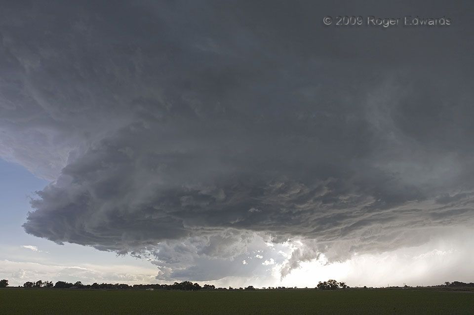
The middle of a set of three simultaneous, close-proximity supercells presented a horseshoe-shaped updraft base as it moved generally eastward along the Arkansas River Valley of Colorado. At this point, the older, northern storm (unseen at right) was obscured by some rain and seemed destined for oblivion, but would rejuvenate later. The base of the third and smallest supercell actually can be seen in the distance, behind the bight in the base of this storm. The distant supercell soon would dissipate after moving into the outflow air from this one. Such broad gaps or clefts in a storm base happen when sinking air on the back side evaporates a swath of cloud material. Often that spells doom for the storm, but not this fine specimen! It later would merge with the one to its north and churn along down the river valley, well after dark, and into Kansas.
2 WNW Rocky Ford CO (11 Jun 9) Looking WSW
38.0588, -103.748