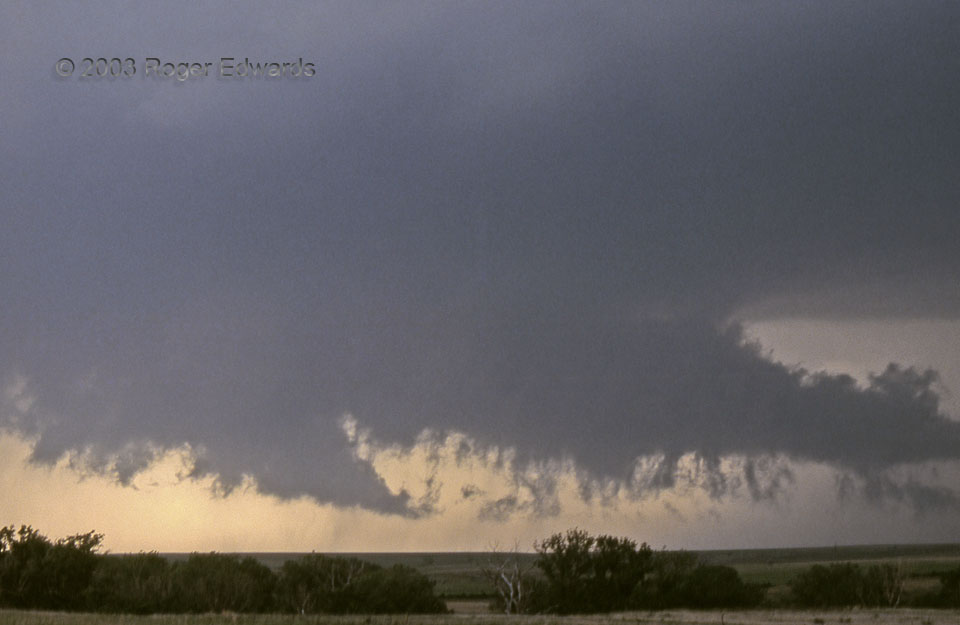
This looks like a very loose, ragged wall cloud, with a good deal of precipitation in the general vicinity. Actually, it was part of a tremendously well organized circulation, about to produce a tornado. The scuddy bottom of the tail cloud—racing right to left, from rain-cooled toward warm air—had some of the fastest horizontal cloud motions I had ever seen, much stronger than would be expected from outflow alone. That air was being pulled, not pushed! The smaller, scuddy tail at lower left was moving toward the right, almost as fast, with all motion converging about 1/3 of the way across from left. Meanwhile, the lighter area at the top was a broader plume of inflow, moving southeast to northwest into the main storm. The whole turbulent, rotating mass was moving in our general direction. It was time to reposition a little further away so we wouldn’t get cut off by hail (in the core at right) from our eastern escape route, through Hill City.
3 S Hill City KS (9 Jun 5) Looking WSW
39.3283, -99.8471
