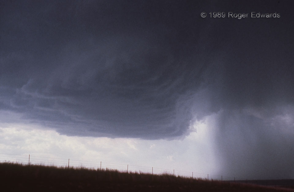
Though high-based, with only weak visible rotation, this supercell had a large updraft, visible from many miles away, and deserved closer scrutiny. A quick jaunt NNW out of Roll provided such an opportunity, albeit short-lived. Focal length here was 50 mm, shooting 35-mm Ektachrome slides; so yes, it was close, but not dangerously so. After dropping back south to get out of the way of both the mesocyclone and the likely hail-dumping core at right, I found out unambiguously that the storm could offer another way to remind that it was in charge of this situation.
4 NNW Roll OK (20 Apr 89) Looking WNW
35.83, -99.7298
