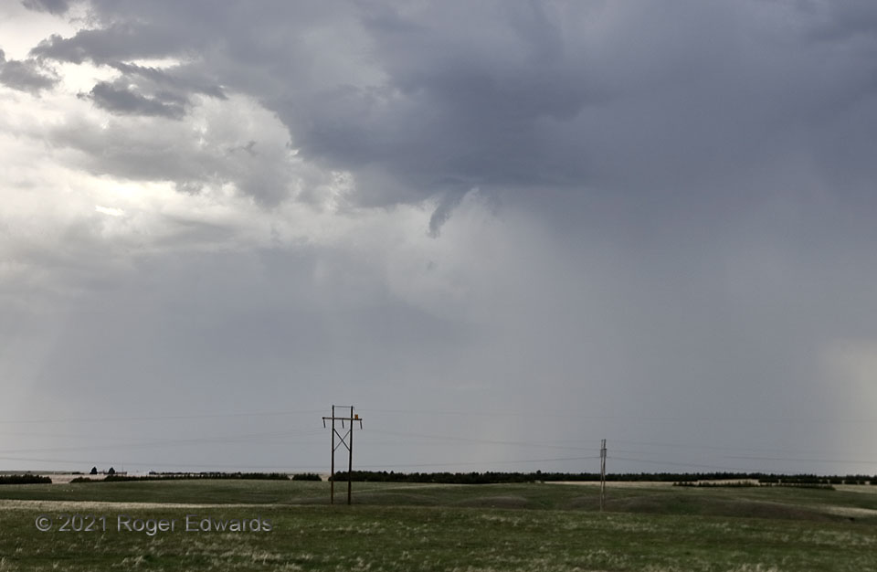
Destructive interference from close-proximity development of numerous high-based storms kept substantial, large updrafts from taking root long enough to organize into sustained supercells on a day otherwise favorable in the parameter space. This became readily apparent as we watched one small, high-based updraft after another race past in a train of convection, moving more with the midlevel flow than any deviance implied by boundary-layer influences. Despite all that, this little updraft bore a short-lived, harmless, only weakly rotating funnel cloud that never came close to becoming tornadic, and wasn’t worth triggering a warning.
4 SW Sidney NE (21 May 21) Looking NW
41.0948, -103.0322
