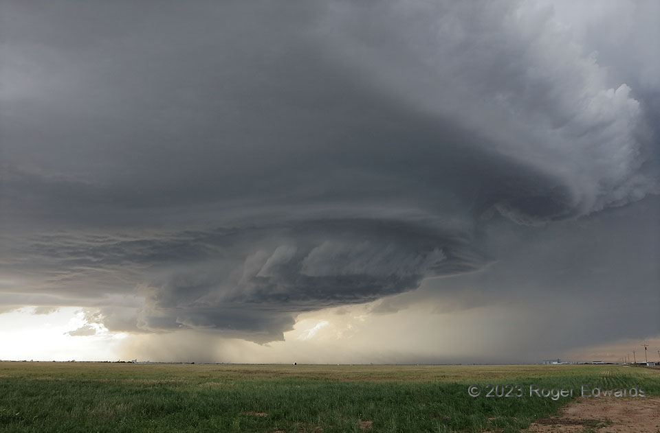
[Part 2 of 4] Reviewing the photos of the “Hereford” stage of this storm, it was hard to decide which one or two out of around four representative pieces best depicted the experience, so I offer you all four. Aside from its fascinating physical processes and explanation (Part 1), the supercell was simply spectacular throughout multiple stages of its development and movement southeastward through the western and southern Texas Panhandle. Stacked collars and layers evolved gradually and beautifully as the storm passed obliquely closer to our location, then past, adjusting its own light and shadows. Grain elevators of Hereford’s outskirts in the distance imparted a sense of the storm’s massive scale, and the tremendous amount of airmass flowing upward through it. [Go to Part 3]
6 ESE Hereford TX (11 Jun 23) Looking NNW
34.8067, -102.3094
