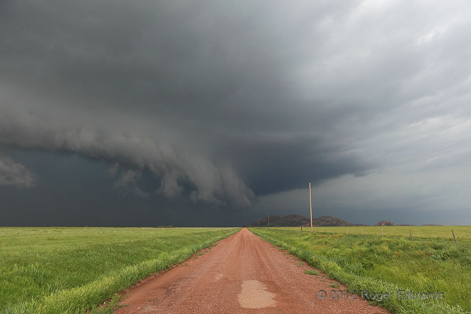
 What had been a wet classic supercell seemed to gust out as it merged with other, smaller cells, but instead organized a very intense, rain-wrapped mesocyclone and surged eastward past Headrick. In this view, the arc of the rear-flank gust front is in the foreground, wrapping back into a dark, hidden, dangerous mesocyclone region. Any unfortunate persons hiking on those granite hills without paying attention to weather warnings would have been treated to a ferocious, rapid-onset atmospheric attack involving flash-flooding rains, punishing hail, lightning, and severe wind, perhaps with a tornado embedded, and with little or no protective cover.
1 NW Headrick OK (13 Apr 12) Looking N
34.6386, -99.1589
What had been a wet classic supercell seemed to gust out as it merged with other, smaller cells, but instead organized a very intense, rain-wrapped mesocyclone and surged eastward past Headrick. In this view, the arc of the rear-flank gust front is in the foreground, wrapping back into a dark, hidden, dangerous mesocyclone region. Any unfortunate persons hiking on those granite hills without paying attention to weather warnings would have been treated to a ferocious, rapid-onset atmospheric attack involving flash-flooding rains, punishing hail, lightning, and severe wind, perhaps with a tornado embedded, and with little or no protective cover.
1 NW Headrick OK (13 Apr 12) Looking N
34.6386, -99.1589Headed past Headrick
 What had been a wet classic supercell seemed to gust out as it merged with other, smaller cells, but instead organized a very intense, rain-wrapped mesocyclone and surged eastward past Headrick. In this view, the arc of the rear-flank gust front is in the foreground, wrapping back into a dark, hidden, dangerous mesocyclone region. Any unfortunate persons hiking on those granite hills without paying attention to weather warnings would have been treated to a ferocious, rapid-onset atmospheric attack involving flash-flooding rains, punishing hail, lightning, and severe wind, perhaps with a tornado embedded, and with little or no protective cover.
1 NW Headrick OK (13 Apr 12) Looking N
34.6386, -99.1589