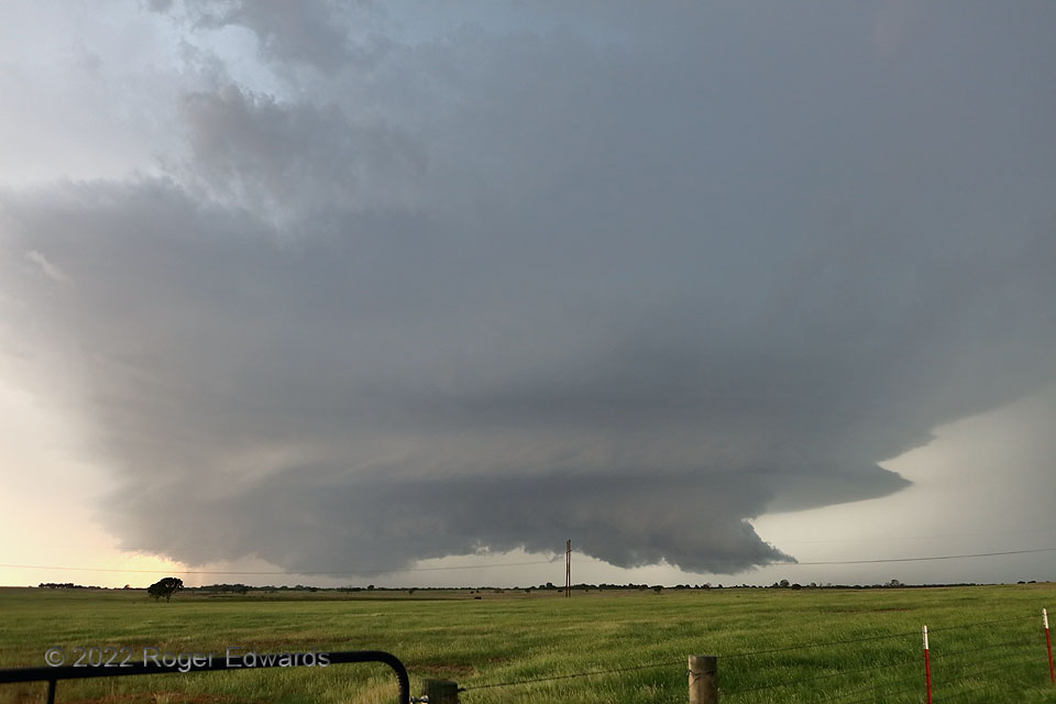
Even with marginal middle-level winds, supercells still can develop and thrive by moving well to the right of that flow, as long as low-level hodographs are large enough. Cooperative boundaries such as convergence zones and slow-moving to stationary outflows can help too, supplying the storm with low-level vorticity, shear, and storm-relative winds not necessarily characteristic of the broader environment. This one formed near Ada, along a convergence line near an outflow boundary, and turned hard right—moving south, then south-southwest! As such supercells often do, it ultimately became heavy-precipitation in character and absorbed into a broader area of storms. Churning through the corridor between Pontotoc and Tishomingo in southern Oklahoma, good views were hard to come by due to hills and trees. We found one here, but had to stay in the vehicle due to a wicked barrage of nearby cloud-to-ground lightning (something else common to southern Plains supercells with a strong southward aim, in my experience). The wall cloud at right had strong convergence and middling rotation, but failed to produce a tornado before getting rain-wrapped. Still, except for the electrical attack, this was a fun storm to track for a couple hours, along an unconventional path that challenged one’s storm-relative navigational skills.
4 ENE Reagan OK (15 May 22) Looking NW
34.3615, -96.6362
