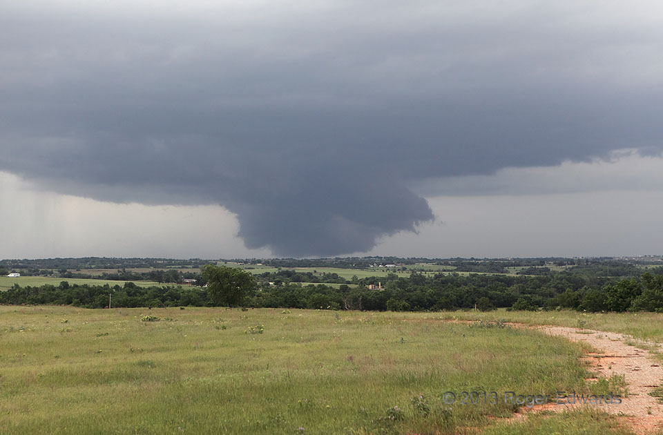
Menacing as it looks, this extremely low wall cloud never produced a tornado, and was only weakly rotating through most of its lifespan. The feature sometimes extended below the visible horizon, and likely was drawing condensation right off ground level in brief intervals. Seen from anything but a hilltop perspective, an inexperienced spotter at this distance might have been fooled. Wall clouds appear because of the combination of high humidity (from a combination of rain-cooled and inflow air) and the relative pressure drop in that part of the updraft, condensing rising air at lower levels than elsewhere. Even when a wall cloud appears to lower, the air in it is actually rising.
1 E Criner OK (30 May 13) Looking NE
34.9718, -97.5501