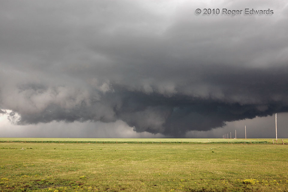
After seeing a small tornado from a remnant, occluded circulation, we headed E expeditiously to get abeam (and ultimately ahead) of the large, strong, ominous mesocyclone that was headed for Dumas. The storm meant serious business. When this scene came into view, we had to stop and take a good look, even though the main updraft region of the supercell had gained several miles’ distance on us. Despite the strong ambient cloud rotation and ominous, ground-scraping appearance of the central cloud and precipitation feature, closer observers and Storm Data reports indicate this stage was not tornadic.
2 E Middlewell TX (18 May 10) Looking N
35.7648, -102.1161
