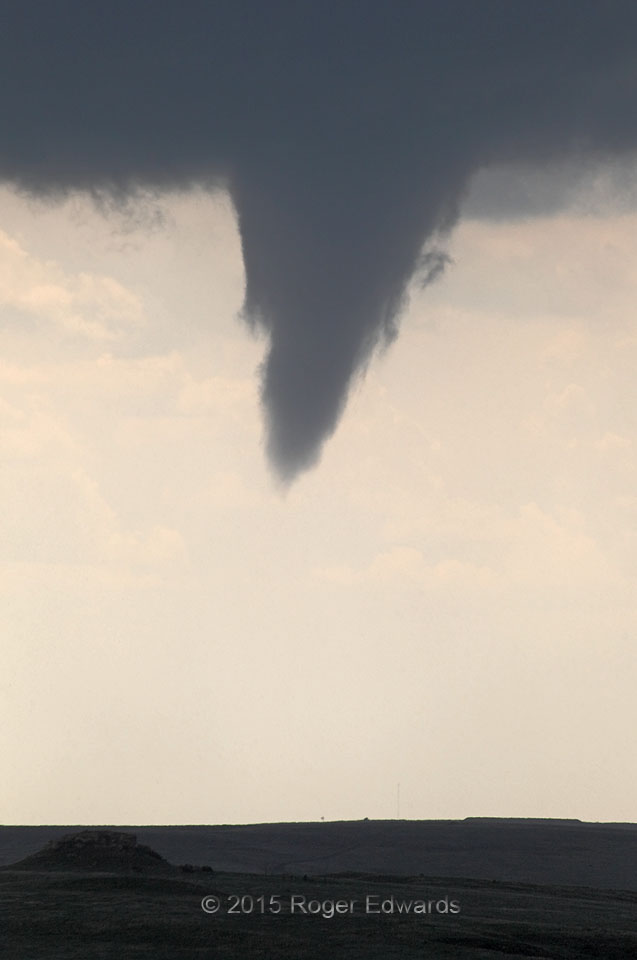
Zooming in on a later stage of the first well-developed Canadian (Texas) funnel cloud, we see filamentous scud that, in motion, rose helically around the edges as one might expect. When a funnel cloud is evident this close to ground level, chances are that some form of its circulation exists at the surface, even if it is too weak to raise dust or to be called a tornado with certainty. Put another way: I would not want to be standing or driving directly beneath a formation such as this. Even if winds are not damaging at the moment, intensification could be rapid and highly dangerous. This supercell eventually did produce a substantial tornado, along with several other smaller ones.
11 NW Canadian TX (27 May 15) Looking WSW
36.0454, -100.5026
