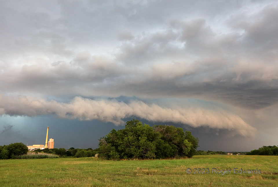
An unusual early/mid-June storm-observing excursion south of the Metroplex led to a short-lived supercell and storm merger west of Corsicana, whereupon an aerial flood of outflow commenced. What made the event striking was its coloration: the turquoise-tinted core, an east-facing arcus frontlit with a peachy hue. I’ve seen this effect several times before, but always on the High Plains, such as the previous year in western South Dakota or seven years earlier in northeastern Montana. As in the entirety of my storm-pursuing adulthood prior, I doubt many more June chase opportunities southeast of Dallas will present themselves to reproduce the lighting! How convenient it was too, for the shelf cloud’s outline to follow the contour of the clump of trees, right as I shot the image.
2 SE Corsicana TX (10 Jun 23) Looking NNE
32.056, -96.4273
