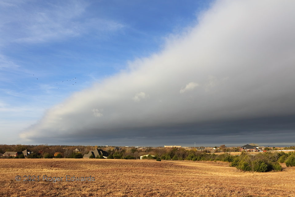
[Part 2 of 2] As the frontal arcus approached, of course it dominated more of the sky, flushing birds from their morning lair. Wind shift from southwesterly to northwesterly would arrive within less than a minute. The fundamental processes making this arcus are the same as a thunderstorm gust front, but for the source of the cold air: a synoptic cyclone instead of mesoscale to local-scale outflow. In both cases, warm-sector air with enough humidity to lift to cloud was undercut by a high-density cold-air current that got progressively deeper into the cold side. The contrast between fair warm-sector sky with high cirrus, and post-frontal gray stratus, seldom appears starker than in this situation. [Back to Part 1]
Norman OK (17 Nov 21) Looking W
35.1924, -97.373
