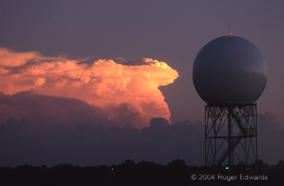
A visually breathtaking yet symbolic scene unfolded one fine evening as NSSL’s research radar reflected a little of the sunset glow, in turn reflected from a strongly backsheared supercell over southern Oklahoma. [This isn’t the usual meaning of “radar reflectivity”!] The storm launched an overshooting top that, with time (below) tilted slightly westward. Some of the overshooting dome actually extended over part of the backsheared cloud material and was rising above the clear-air notch. In the photo below, the fuzzy area in the backshear’s notch consists of frozen precipitation (likely hail) falling from the tilted convective plume.
Norman OK (Oct 4) Looking S
35.2371,-97.4615
