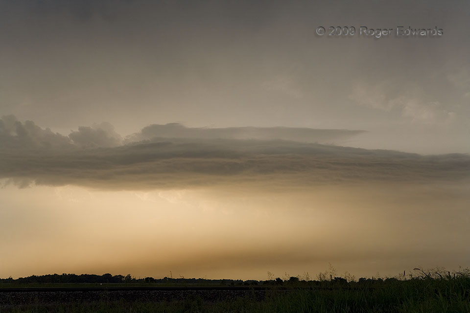
Several interesting effects happened here to create this peculiar sight. First, it was late in the afternoon, with the sun obliquely to the left; so warm colors got refracted through a large amount of cloud material and precipitation. The storm responsible was a classic supercell that had scorched numerous spots along the ground, and in its path, with hot bolts of lightning from its anvil. Resulting fires sent plumes of smoke skyward, including the layer just above ground level here that had become trapped under an inversion, along the edge of the forward-flank precipitation area. Yes, smoke and rain together! Higher up, a shallow layer of mixed convective and stratified clouds atop the outflow air is capped by still another inversion.
Perth KS (20 Jul 9) Looking NNW
37.1715, -97.5094
