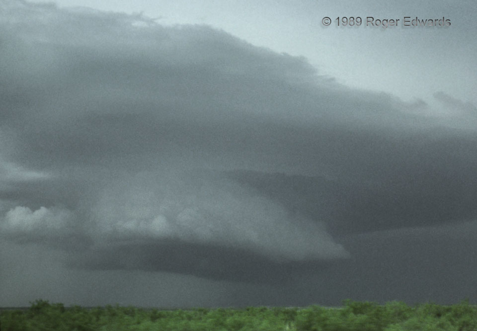
Though obviously still convective (especially in the lowest tier), the flow into this old supercellular updraft was getting more laminar by the minute, forced to rise through increasingly stable layers by the residual vertical pressure-gradient forces of the midlevel mesocyclone. The result was smoother, sloped ascent of air, with the lowest tier resembling an inverted boat hull. Recognizing that this storm was nearly finished—albeit still beautiful in a ghostly, relict way—we were moving at the time this slide was shot, headed northwestward above the Caprock, and toward newer development along the same outflow boundary that spawned this storm in the first place.
6 ENE Post TX (3 Jun 89) Looking N
33.2032, -101.2754
