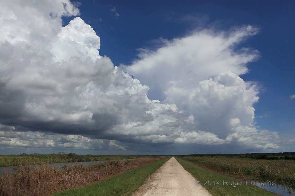
Almost daily during summertime, a rampart of convective towers forms along the sea-breeze fronts over Florida—one near the Gulf Coast, one near the Atlantic Coast. Here is a splendid example of the latter, with a cumulonimbus to the distant north and a neat row of towering cumuli extending southward to very near my location: the Loxahatchee National Wildlife Refuge, along the northeastern fringes of the Everglades. The Atlantic Ocean, unseen to the east, supplies the ocean breeze that penetrates inland during the heat of the day, with aid from prevailing low-level easterlies. Notice how clear the cooler oceanic air is at right, compared to the hotter, more unstable land air at left. The boundary between them provides lift for the deepest convection. Within less than two hours, a large mass of thunderstorms covered much of the western strip of the South Florida metropolis, from Palm Beach County all the way southward past Miami’s western suburbs.
10 WNW Delray Beach FL (21 Jul 14) Looking N
26.4999, -80.2217