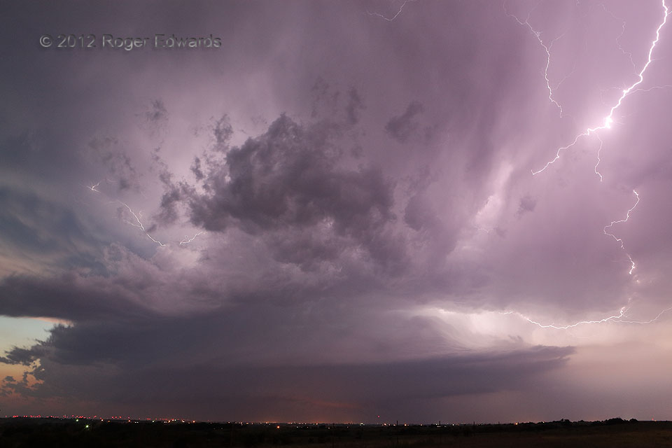
Sometimes the demise of a long-lived, briefly tornadic supercell around sunset doesn’t mean the end of a chase day. We thought it would, having escaped south from the gusty and hail-filled demise of the Loyal/Kingfisher/Piedmont/west OKC storm, which itself dropped hailstones up to 5 inches across. However, a new supercell formed quickly on an intersection between the old supercell’s outflow boundary and another boundary earlier produced by a left-moving cell. This storm, in turn, churned southeastward for a couple hours before merging into a larger cluster of convection. Around the time of the photo, the forward-flank core area (at right) was dropping 2.5-inch hail north of Tuttle, the town responsible for the lights illuminating part of the storm’s updraft-cloud base. It provided us with a messy yet beautiful show of structure and filament lightning in the fading twilight.
1 N Bridge Creek OK (29 May 12) Looking NW
35.2476, -97.7343
