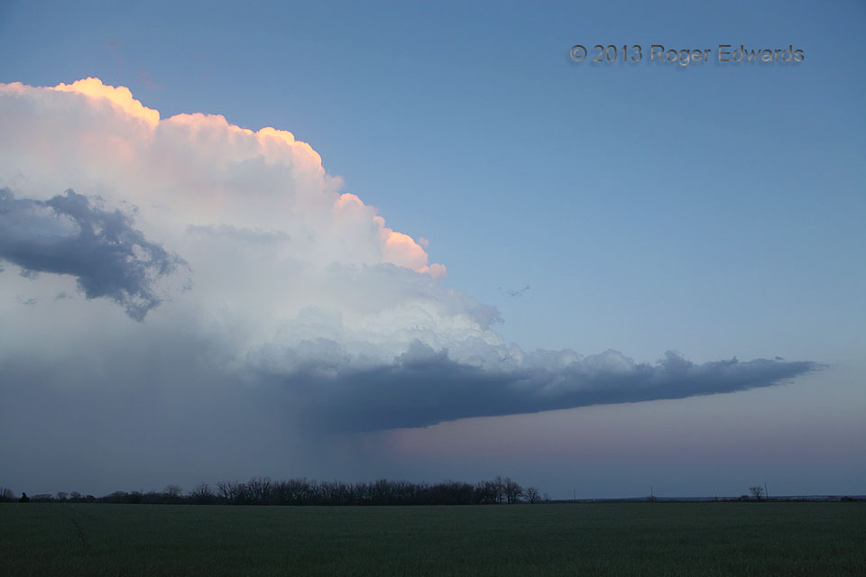
 There’s nothing by this title in any paper cloud atlas. There’s nothing in a conventional cloud atlas quite like this feature. Therefore, since it’s my digital cloud atlas, there’s nothing keeping it out of this one. Several times over my decades of storm observing, I have noticed abrupt, laminar to somewhat convective spikes marking the very rear of flanking lines of supercells or squall lines. In this case, the supercell had evolved into the tail-end storm of the line. With the last rays of sunset still illuminating the upper rim of convection, the view was a fine farewell to a short, rather leisurely storm-observing jaunt of just a few counties away.
4 ENE Perkins OK (14 Apr 13) Looking E
35.9886, -96.9628
There’s nothing by this title in any paper cloud atlas. There’s nothing in a conventional cloud atlas quite like this feature. Therefore, since it’s my digital cloud atlas, there’s nothing keeping it out of this one. Several times over my decades of storm observing, I have noticed abrupt, laminar to somewhat convective spikes marking the very rear of flanking lines of supercells or squall lines. In this case, the supercell had evolved into the tail-end storm of the line. With the last rays of sunset still illuminating the upper rim of convection, the view was a fine farewell to a short, rather leisurely storm-observing jaunt of just a few counties away.
4 ENE Perkins OK (14 Apr 13) Looking E
35.9886, -96.9628Flanking Spike
 There’s nothing by this title in any paper cloud atlas. There’s nothing in a conventional cloud atlas quite like this feature. Therefore, since it’s my digital cloud atlas, there’s nothing keeping it out of this one. Several times over my decades of storm observing, I have noticed abrupt, laminar to somewhat convective spikes marking the very rear of flanking lines of supercells or squall lines. In this case, the supercell had evolved into the tail-end storm of the line. With the last rays of sunset still illuminating the upper rim of convection, the view was a fine farewell to a short, rather leisurely storm-observing jaunt of just a few counties away.
4 ENE Perkins OK (14 Apr 13) Looking E
35.9886, -96.9628