But, but, but…where’s the tornado? Not all tornadoes are obvious at first glance, even when there’s no precipitation or terrain interfering with the line of sight. Can you, diligent spotter, locate not just the ground circulation but the one at cloud base from just this two-dimensional image? Click the image to expand. The smudge of debris at lower center defines the ground contact of the vortex, in classic “dirt dobber” form, but the cloud circulation wasn’t directly above. Instead, it was strongly tilted, manifest as a small funnel to the upper left of the debris, above the right side of the distant tree row. I was not expecting a flanking-line tornado here. In fact, I had not noticed it yet, while shooting this wide-angle image of the towers and their beautiful reflections of direct and secondarily reflected sunset light. As soon as I peeled the camera off my face, I realized what was happening, though the vortex dissipated within another minute or so at most. The main supercellular updraft at left, as these deeper towers merged in, soon would produce a longer lived, mesocyclonic tornado.
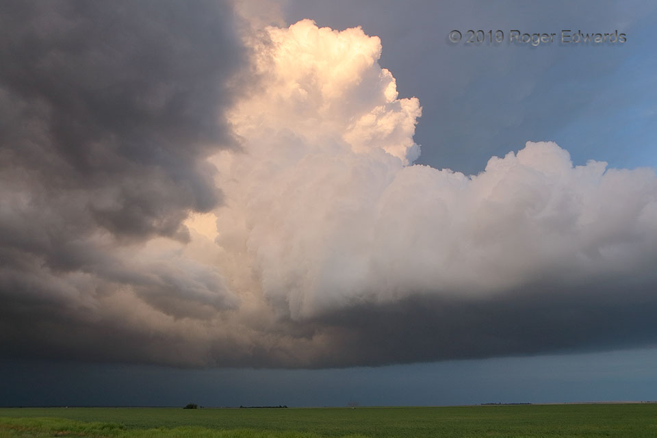
5 SW Fowler KS (17 May 19) Looking E
37.3367, -100.2613
