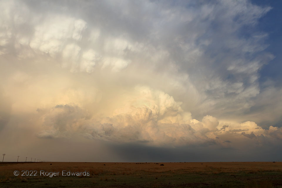
For the longest time (as in, all afternoon until nearly sunset), this was a very frustrating chase day, as I had been waiting in northeastern New Mexico for one of three possible target areas to erupt with storms. Well…two did, with photogenic supercells, and they were a couple hours to the south and north-northeast. Storm attempts near me dried up. Some days just don’t work out. Limping into Boise City on a bruised ego and a motel reservation, I checked in, only to see thickening clouds and even some convective towers off to the north. After penetrating some messy multicells and brief heavy rain near of the Oklahoma-Colorado line, more-robust and newer development just north of Campo wrapped into a sunset supercell that astounded and delighted this grateful eyewitness. A massive area of convective knuckles rolled over the backsheared near side, while flanking towers continually built and rolled northeastward into the storm. The lesson: don’t give up the chase day until it’s really finished. An unknown blessing may bloom closer than you think! Ultimately, this activity merged into a complex with other supercells (dropping southeast out of one of the two areas I had missed), then backbuilt. The resulting complex dove south into the Panhandles and dropped a dose of much-welcomed heavy rainfall, amidst a south-central High Plains drought year.
3 NW Campo CO (7 Jun 22) Looking ESE
37.1484, -102.6149
