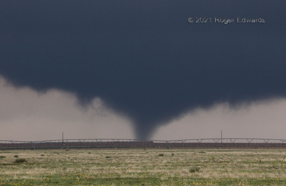
Having been initially out of position for earlier supercells forming near an outflow-reinforced warm front and producing a brief tornado or two each, we zipped north from the Channing area to see if newer and nearer towers, visible to our north, could grow into a storm and achieve the same feat. They most certainly did, and then some. The resulting supercell became the longest-lived “anchor storm” of the lot, and produced the most tornadoes. Here was its first, about 30 seconds after visible development, sporting a fuzzy but unmistakable condensation cone fully in ground contact, with wildflowers and a center-pivot irrigator in the foreground. This tornado would assume multiple-vortex form briefly, followed by two more tornadoes seen from the same spot.
4 W Conlen TX (30 May 21) Looking NW
36.2351, -102.3135
