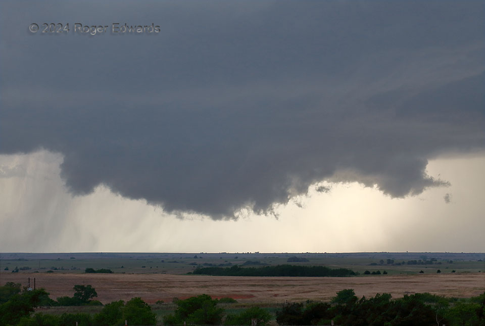
A classic supercell sported a classic, slowly rotating wall cloud as it rolled east-northeastward over western Oklahoma. Ragged strings and filaments of scud, rising but not rotating, were reported erroneously by other spotters as funnel clouds, during this period when I had an excellent view. The mesocyclone at and below cloud base had much stronger upward motion than horizontal (rotational). This mesocyclone never produced a tornado, nor even came close. The first of several precip cascades upshear from the mesocyclone, that eventually would turn this storm into an “HP moose“, can be see to the left rear.
2 E Anthon OK (6 May 24) Looking WNW
35.7544, -98.9818
