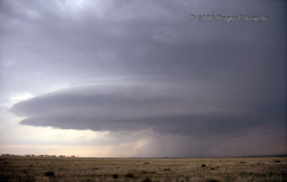
[Part 2 of 2] While posing for my slide camera, a classic, Colorado High Plains supercell proceeded eastward, deeper into both the late-afternoon light and a gradually stabilizing boundary layer. The latter, as often happens, led to a smoother, more-striated appearance as the storm’s internal low-pressure circulation (mesocyclone) forced that cooler inflow air upward. For just a little while, it was a feast for the eyes on some great storm structure near Joes, a town named after multiple early settlers called Joe. [Back to Part 1]
2 NW Joes CO (22 May 98) Looking WNW
39.6777, -102.7073
