SkyPix

A digital photographic storybook of clouds, weather and water by Roger Edwards.

  • Home
  • Newest Posts
  • Galleries (Menu)
    • Aerial
    • All Hail
    • Burnscapes
    • Daytime Lightning
    • Floods
    • Fog and Mist
    • Gallery of Outflow
    • Hurricane Andrew
    • Mini Cloud Atlas
    • Night Lightning
    • Mostly Okie Winters
    • Panoramics
    • Sunsets and Sunrises
    • The Majestic Supercell
    • Tornadoes
    • Unusual Weather Damage
    • Visual Effects
    • Wall Cloud Wall
    • Water Works
  • About
  • F.A.Q.
  • Contact

Etowah Night Wedge

2025-08-26 By Roger Edwards

Etowah Night Wedge
One of a long series of erratically moving tornadoes produced by the “Cole-Shawnee” supercell, this fourth of the surveyed “Etowah” tornadoes was briefly one of the best-defined visually, manifesting as a genuine wedge in the deep woods of extreme eastern Cleveland County.  Given the wobbly and often strongly deviant motions of this storm’s mesocyclones and accompanying tornadoes, I kept good distance, especially after sunset.  To this day I don’t know exactly how many tornadoes I saw with this storm, given respectful distance, their unsteady behavior, path overlaps in time, and sometimes nebulous visual forms.  For one of the few times since the daylight Cole tornado, this vortex’s appearance at this stage was definitely not nebulous!  Lighting, however, was much dimmer than apparent here.  As four years earlier in southwestern Kansas, I was able to do a short time exposure at high ISO and wait for a fortuitous lightning flash — in this case, both in the background core and overhead — to illuminate landscape and silhouette the tornado, then let the shutter shut.  The entire supercell would move farther from me and my position in a driveway at the eastern dead end of York Rd., with nothing but denser forest and choppier hills to the NE.  Given that, and a newer supercell behaving even more drunkenly to its west, I called off the chase shortly after this, and moved cautiously northward and homeward. 

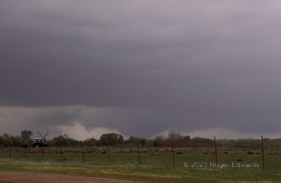
5 ENE Lexington OK (19 Apr 23) Looking NE
35.0441, -97.2538

RADAR

Filed Under: Night Lightning, Tornadoes Tagged With: clouds, convection, Etowah, landscapes, Lexington, lightning, nighttime, Oklahoma, storms, supercells, thunderstorms, tornado, weather

Previous: St. Onge Arcus
Next: Twilight Highlight of the High Plains

About

Welcome to SkyPix, an online photo book of clouds, weather and water by Roger Edwards. As in a printed coffee-table book, every image has its own page with a unique story. After all, meaningful photography is much more than just picture-taking; it is visually rendering a moment in place and time from a perspective like none other. As a scientist and an artist, I hope my deep passion for the power and splendor of our skies and waters shines through in these pages. If you are a cloud and weather aficionado, outdoor enthusiast, outdoor or nature photographer, art lover, or anyone who craves learning, enjoy...

More

Further images from this photographer may be found at:
Roger Edwards Image of the Week
Roger Edwards Digital Galleries
Storms Observed Chase BLOG

Copyright © 2026 ROGER EDWARDS SKYPIX.PHOTOGRAPHY ALL RIGHTS RESERVED. · Design by INSOJOURN Design and Images · WordPress · Log in