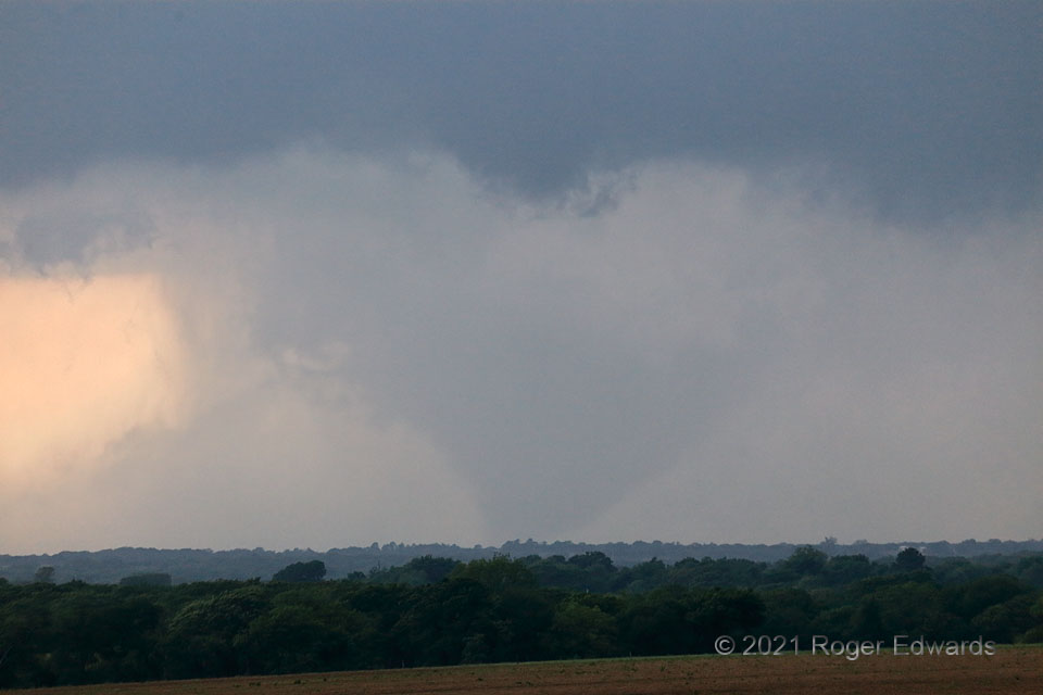
My first view of the Blum tornado was this: a fat, tapered, rain-wrapped cone emerging from dense precip obscuration, in an old mesocyclone. How long had this tornado existed before? Even after the fact, it’s hard to say, as in its early life cycle, there was little to damage. I reported this to NWS Fort Worth right away, upon recognizing and gaining confidence in what this was. The tornado became better visible as it continued into part of Blum, doing heavy damage to a wedding venue near the end of the path. A wider view of the storm-structure context is available in this stage too.
1 NNW Osceola TX (3 May 21) Looking W
32.1509, -97.2412
