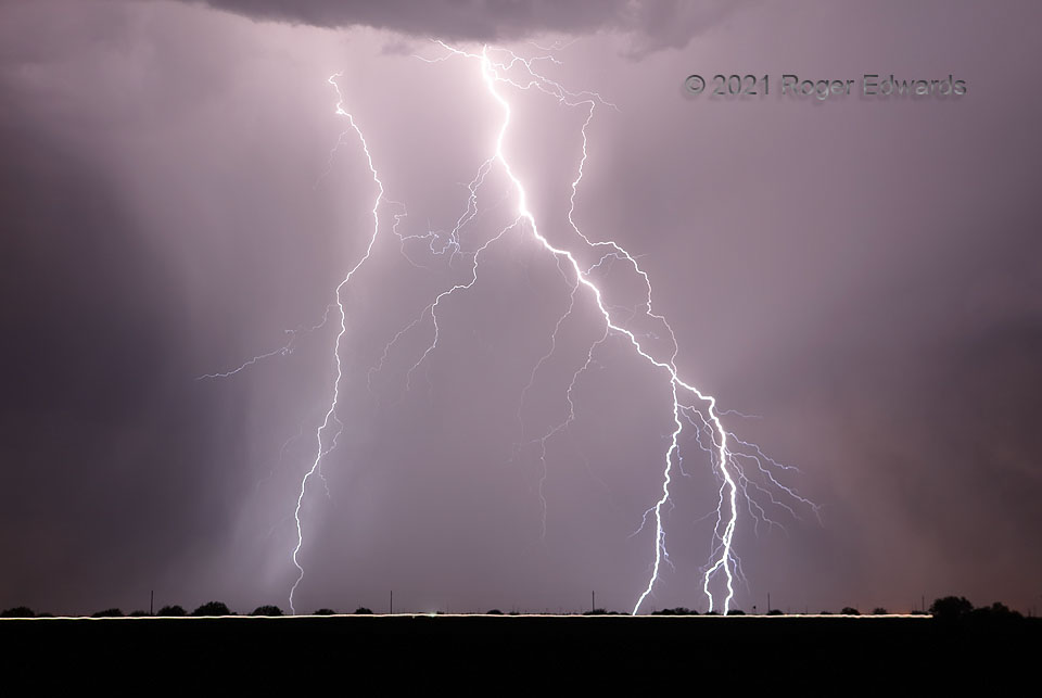
An electrically prolific, high-based multicell thunderstorm cluster flung over 100 cloud-to-ground lightning flashes within view on this moist southern Arizona evening. I managed to catch about 80 of them on camera. Here are three of the closest, including one with a branched bottom (at right). Their differences in brightness mainly relate to how much of the storm’s rain core was falling between discharge and camera. This is only a slightly zoomed view; the CGs were striking just a couple miles away and not terribly far behind a state highway, with a southbound vehicle crossing the view in this roughly 20-second exposure. The first hints of a nighttime haboob appear at right—a dusty plume whose closer lobe would overtake me within a minute, blasting zero-visibility grit, causing me to don a pandemic mask for the purpose of airborne dirt filtering, and temporarily shutting down my lightning shooting until it passed. Afterward, this storm still was there, just somewhat more distant. Two days later, I would encounter a spectacular daytime haboob well to the east in southern New Mexico.
5 NE Eloy AZ (9 Jul 21) Looking NW
32.8216, -111.5
