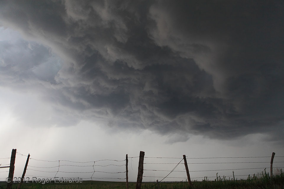
A long line of storms, extending from Kansas to western Oklahoma, offered mostly outflow and high bases along its Okie segment for much of the late afternoon. Still, while awaiting something more intercept-worthy in the region, it was fun to find a high vantage and observe an ever-evolving, chaotic and dynamic sky in every direction. This storm base, elevated over outflow from another’s rain, offered a deeply textured, turbulent, fluid tapestry of gray-shaded granularity. [I posted a DSLR time lapse of an earlier stage of this base here.] Once another surface-based storm formed to our SW, we abandoned this weakening activity and intercepted what became a very electrically active, tail-end supercell.
6 N Hammon OK (19 May 12) Looking N
35.7257, -99.3733