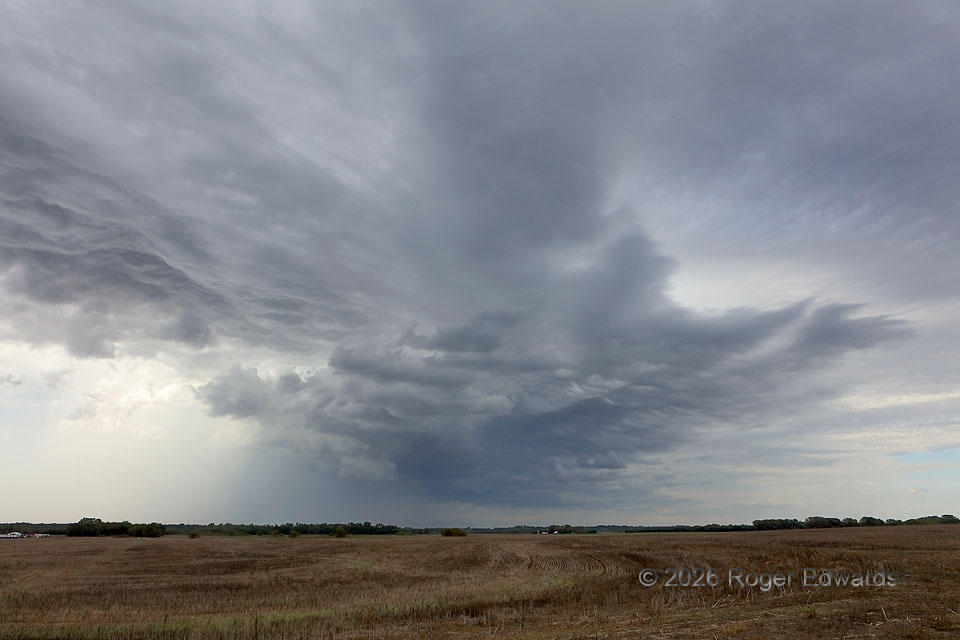
Two chase days in one happened this day, the first involving some interesting looking but visually elevated storms along a then-slow-moving cold front. This was the main, most persistent thunderstorm, occasionally showing midlevel rotation but situated mostly atop warm-advection clouds such as ragged asperatus/asperitas (left, right center) and amid wavy altostratus and altocumulus layers. The whole process had one fo the strangest appearances of any storm I’ve intercepted from a nominal surface-based, warm-sector angle, though the combined rear-flan outflow and cold front did creep past my location within a few minutes. I wasn’t going to follow this storm further northeast and away from the strongest inbstability to the southwest, so I just watced it drift past with its weird and curious cloud forms. Fortunately, this wasn’t the only storm I would see on this day. To drive over 200 miles for an elevated supercell is a bummer. Instead, new cells were forming on either side of the Oklahoma/Kansas line about 100 miles to the southwest, which would provide the more classical chase experience within about an hour and a half.
5 NW Pretty Prairie KS (13 Oct 26) Looking NE
37.8394, -98.0839