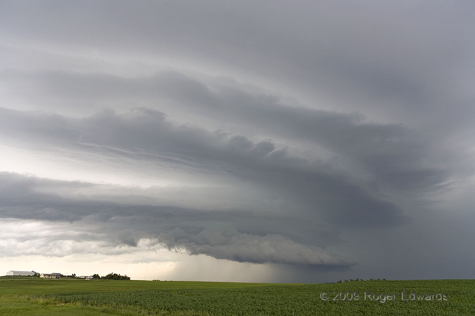
Developing as an elevated supercell, this storm underwent a brief tornadic phase when it crossed a northward-retreating warm front into some very moist and unstable air, and at almost the same time, crossed an outflow boundary left behind by a newer storm well to its southeast. By the time we got back ahead of it, the short-lived and small tornado was gone, and the storm again was elevated—this time over the outflow! In an experience unique to all my storm intercept background, covering many hundreds of supercells over a quarter century, I saw the same rotating storm in two separate elevated stages, bracketed by a very short-lived, surface-based phase. By now, it had processed a large volume of much more unstable air than in the previous shot a couple hours before, accumulating quite a beautiful stack of banded, chambered cloud features, the bottom one being an arcus raised by its own outflow. Still being early in the afternoon, we quickly abandoned this picturesque but dying cause for our original target area: a much more volatile and potentially tornado-producing situation in south-central Nebraska.
2 SSW Axtell KS (17 Jun 9) Looking NW
39.8420, -96.2723
