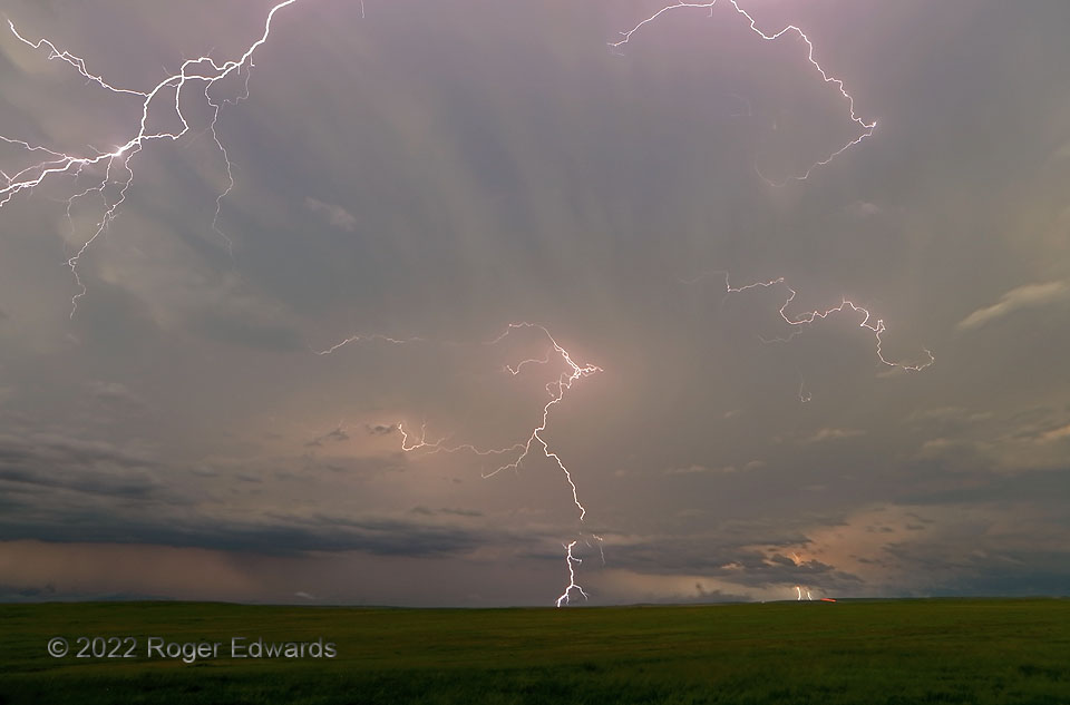
An older, large supercell that was growing upscale into a bow echo absorbed a newer, broad-based, rapidly organizing supercell that formed on a horizontal roll in the original storm’s inflow region. The result was intense and complex, as one would expect: a county-scale, rotating thunderstorm cluster, with a central mesocyclone over 20 miles wide, offering large hail, very severe wind, and flash flooding. With darkness nigh, I dropped south away from the heart of that dark, wet, roaring mess, in which chasing would have been very hazardous, and completely pointless for photographic purposes. Experience with several such complexes also promised a great electrical show on the back side. It was! This short, wide-angle time exposure (about ten seconds) caught multiple discharges, including two CGs on the rear rim of the distant core, another (center) from the trailing anvil, and parts of a bright “crawler” that blasted across the overhead sky. Red lights at distant lower right were along Interstate 90. This entire sparky spectacle was on the opposite side of a dirt road, and about 120 degrees in direction removed, from an electrified elevated supercell that, by this time, was weakening.
1 N Cactus Flat SD (12 Jun 22) Looking NW
43.8478, -101.8996
