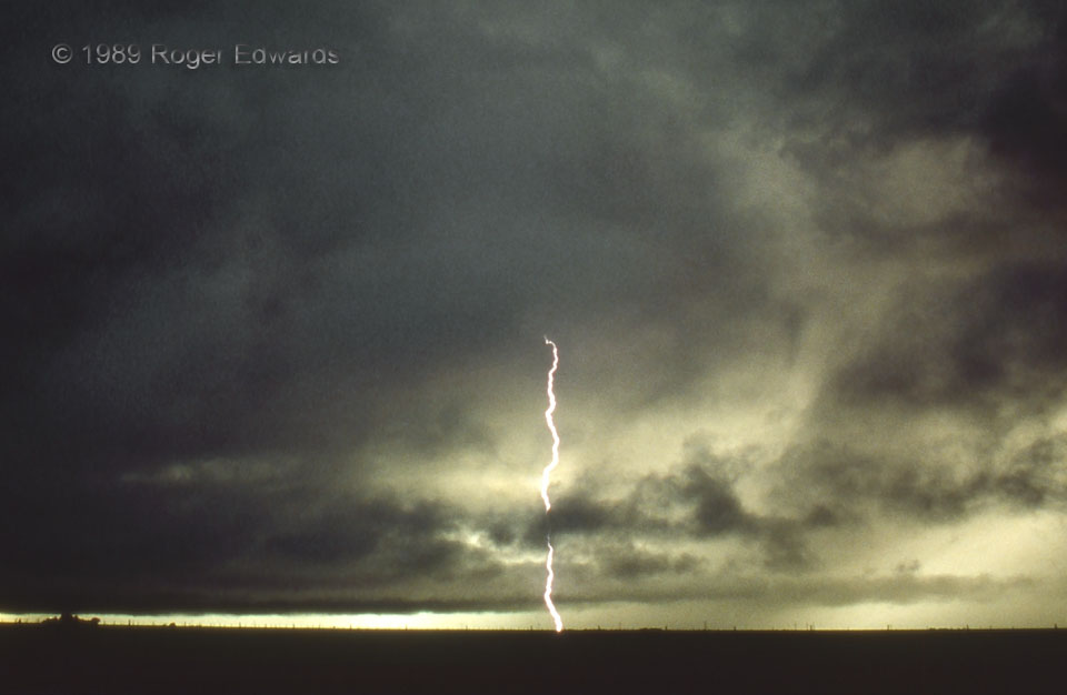
After an intense, very cold outflow surge heaved past us, more severe thunderstorms developed along it, just southwest of here. The cloud line in the lower-middle and right of this image was an arcus cloud along that outflow boundary. The thunderstorm became rooted in an elevated unstable layer as the boundary continued SW, but kept spewing cloud-to-ground strokes through the cold air. Yes, it was daytime! Sunset was an hour away; but because it was so dark under that storm (which was itself under than anvil of a big, reportedly tornadic supercell near Muleshoe), I could run multi-second exposures. The whole deeply shadowed, greenish lighting of the environment, as seen in person, was simply surreal. Removing the ground, I’ve imagined a look like this in the electrified upper atmospheres of gas-giant planets.
1 WNW Tulia TX (3 Jun 89) Looking WSW
34.5437, -101.798
