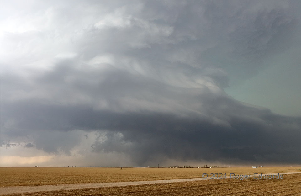
Our first clean view of what became an EF3 tornado, under what was becoming a striking display of storm structure, emerged from behind a gap in a streamer of forward-flank outflow dust. As I could see cleanly under the rotating wall cloud a couple minutes before, this tornado was no more than about a minute old here. Under the broader base, a tail cloud in the deep right background collected a mixture of inflow and precip-cooled air along the forward-flank convergence zone. We were southeast of the south-southeastward-moving supercell, meaning its hail-filled vault and near-forward flank eventually would overtake this position and compel us to relocate. A greenish cast to the midlevel vault region at middle/upper right told us that likely had extremely unfriendly hail, and was a lousy place to be. Fortunately and for once, the south-southeastward tilt of “north-south” roads in this part of Texas (thanks to long-ago railroad establishment from Dallas to El Paso) worked in our favor on this day, giving us a quick escape route along the supercell’s path.
8 WSW Midkiff TX (30 May 24) Looking WNW
31.6089, -101.9775
