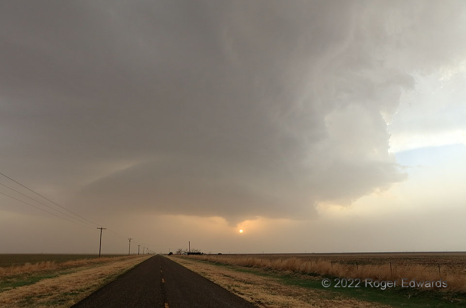
Storm observing, when the intervening boundary layer is thick with dust, sometimes can be a hazardous and near-futile exercise. Drought years in the High Plains do this most often, especially in strongly synoptically forced days, when intense “moist sector” winds raise a great deal of dust even ahead of the dryline, and ahead of dryline storms. Radar is a friend in these situations, both to avoid direct trouble in a supercell’s path, and to position for eastern silhouetting to maximize contrast—as long as the spotter recognizes the age of the imagery, and how fast and which way storms are moving. When possible, locating in near-storm outflow (not the case here) can help as well, as a combination of light precip and downdraft subsidence can carve out a relatively dust-free zone. For much of the afternoon, higher sun angle and brighter glare in the low-visibility dust made spotting conditions awful, and I stayed back to the east of a loose chain of storms, occasionally seeing anvils or faint, fuzzy structures, while awaiting better light. Only with sunset’s approach, some settling of the dust, and especially low-angle silhouetting, did visibility improve enough to make out most low-level storm features fairly well. I would get one more look at this supercell’s mid/upper-level structure in gorgeous sunset light.
4 SW Wayside TX (22 Apr 22) Looking WNW
34.749, -101.5817
