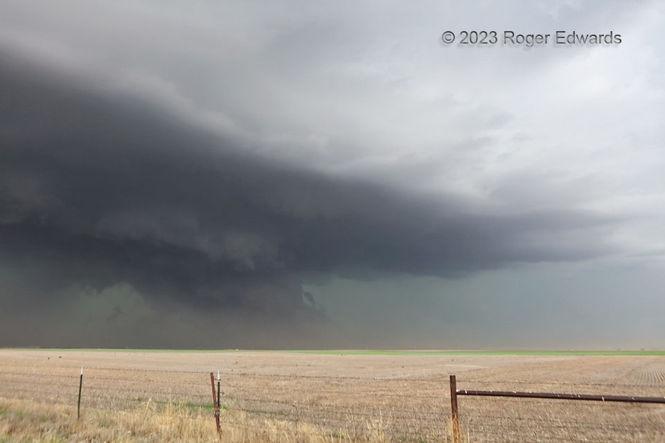
This dryline-fired supercell was in a transition stage, moving into only slightly destabilized and modified outflow air from a large complex of thunderstorms that swept across Kansas earlier in the afternoon. Instead of weakening, or becoming completely elevated, this storm hung on in a fine balance, with just enough airmass modification, via warm advection and weak diurnal heating, to keep it somewhat surface-based. One could tell by the presence of intense, inward-directed, dirt-lofting winds right along the surface. The deep-layer mesocyclone, manifest down low by a wall cloud at lower middle left, persisted only a bit longer before a tremendous core surge with rain and hail changed the structure to more purely outflow dominant, with a shelf cloud already forming in front of the wall cloud and extending off the left side of the image. Soon, the resulting band of storms would force the old outflow air aloft and become and wind and hail machine.
5 SW Radium KS (9 May 23) Looking NW
38.1383, -98.9679
