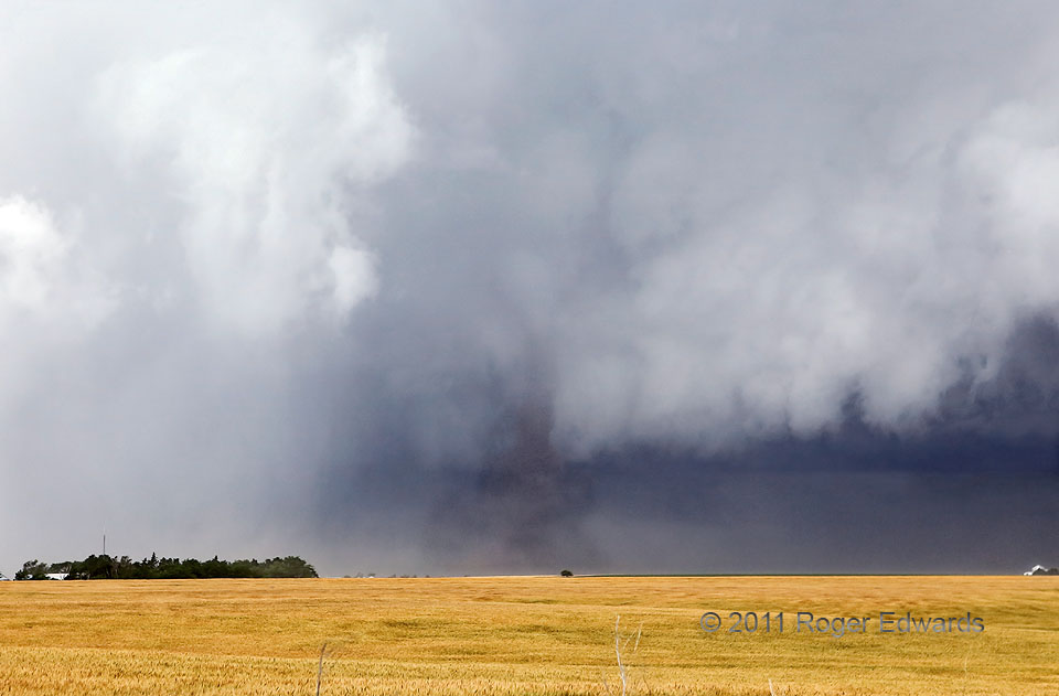
This was the first, best-organized and perhaps longest-lived, of several tornadoes that developed along the forward-flank/inflow interface of a weird, midday, occluded-front-riding supercell, nearly collocated with a synoptic low, in northwestern Kansas. It raised a tremendous amount of field dust for at least 10 minutes before being hidden behind that oncoming wall of rain to the left. The rain wasn’t just translating, it was rotating around the storm’s primary and long-lived mesocyclone, which itself contained an intermittently visible wedge tornado. A separate bank of low storm-base clouds just behind the tornado was racing inward toward the main mesocyclone, manifesting strong low-level cyclonic shear. This, like the later tornadoes we saw ahead of the main mesocyclone, formed under distinct updrafts over the occluded front’s obviously rich and stretchable vorticity field, with the occluded front also very nearly superimposed on the forward-flank core’s gust front. When storm-scale and synoptic processes conjoin in tight quarters, look out! Better contrast of this vortex was attainable, but we decided to respect this storm’s apparent tendency to spin up tornadoes from seemingly anywhere, and kept safe distance out in the inflow sector.
3 S Long Island KS (20 Jun 11) Looking WSW
39.901, -99.5354
