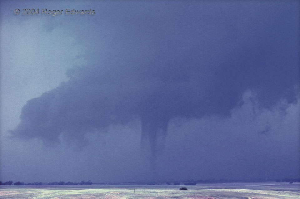
SkyPix

A digital photographic storybook of clouds, weather and water by Roger Edwards.

  • Home
  • Newest Posts
  • Galleries
    • Aerial
    • All Hail
    • Burnscapes
    • Daytime Lightning
    • Floods
    • Fog and Mist
    • Gallery of Outflow
    • Hurricane Andrew
    • Mini Cloud Atlas
    • Night Lightning
    • Mostly Okie Winters
    • Sunsets and Sunrises
    • The Majestic Supercell
    • Tornadoes
    • Unusual Weather Damage
    • Visual Effects
    • Wall Cloud Wall
    • Water Works
  • About
  • F.A.Q.
  • Contact

Deuel Vortex

2020-10-19 By Roger Edwards

Deuel Vortex (concentric-vortex tornado)

Concentric tubes⁠—inner and outer vortex components⁠—are evident in this film slide of a tornado from Deuel County of the southeastern Nebraska Panhandle.  If viewed in a cross-section, or a mobile Doppler radar image, it may have looked like two concentric rings with a “moat” or annulus between. This idea is much like the eyewall replacement cycle of a hurricane, and actually, that’s how this tornado behaved.  As when a hurricane replaces its inner eyewall with an outer one, the outer vortex ring here became dominant and the tornado expanded in size, then filled in as it presumably intensified and its whole-circulation pressure fell as evident in the next image.  Under very similar humidity and temperature, clouds condense sooner in lower pressure.  Tornadoes are very good at decreasing the air pressure!  Here, the outer layer’s cloud-condensation level was higher above ground than the inner one because of higher pressure outward from center (put another way, lowest pressure in the core region of the tornado vortex).  Regardless, based on mobile-radar measurements of other tornadoes, the real outer edge of this tornado vortex probably was near or even beyond the edge of the outer visible condensation layer, even below its visible part at ground level.

4 NNW Big Springs NE (10 Jun 4) Looking NNW

RADAR

Filed Under: Tornadoes Tagged With: Big Springs, clouds, convection, Great Plains, landscapes, Nebraska, storms, supercells, thunderstorms, tornado, wall clouds

Previous: Fractocumulus a.k.a. Scud
Next: Booming across the Borderlands

About

Welcome to SkyPix, an online photo book of clouds, weather and water by Roger Edwards. As in a printed coffee-table book, every image has its own page with a unique story. After all, meaningful photography is much more than just picture-taking; it is visually rendering a moment in place and time from a perspective like none other. As a scientist and an artist, I hope my deep passion for the power and splendor of our skies and waters shines through in these pages. If you are a cloud and weather aficionado, outdoor enthusiast, outdoor or nature photographer, art lover, or anyone who craves learning, enjoy...

More

Further images from this photographer may be found at:
Roger Edwards Image of the Week
Roger Edwards Digital Galleries
Storms Observed Chase BLOG

Copyright © 2025 ROGER EDWARDS SKYPIX.PHOTOGRAPHY ALL RIGHTS RESERVED. · Design by INSOJOURN Design and Images · WordPress · Log in